Charts
Gulf Coast marine charts from Texas through Florida, plus inland lakes. Own-ship on the water, depth contours, wind, weather, and tides. Boat ramps, nav aids, wrecks, and pins.
 FingerCast
MightyFinger
Gulf Coast · Texas through Florida
FingerCast is fishing charts and a catch log. Coverage spans the Gulf Coast from Texas through Florida — coast, offshore shelf, and inland lakes. Free on iPhone and Android.


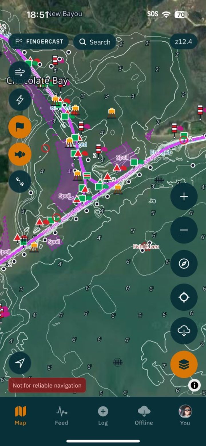
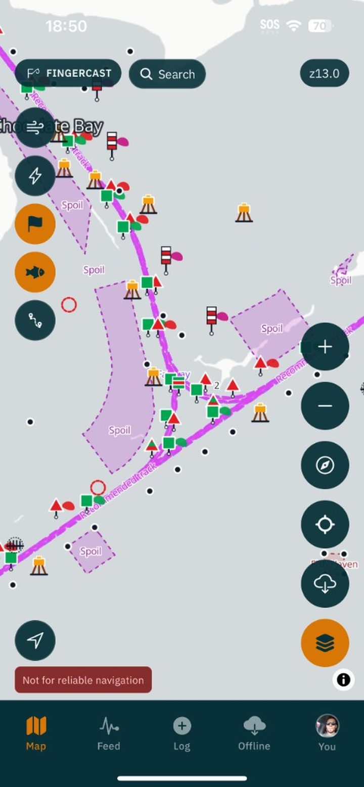
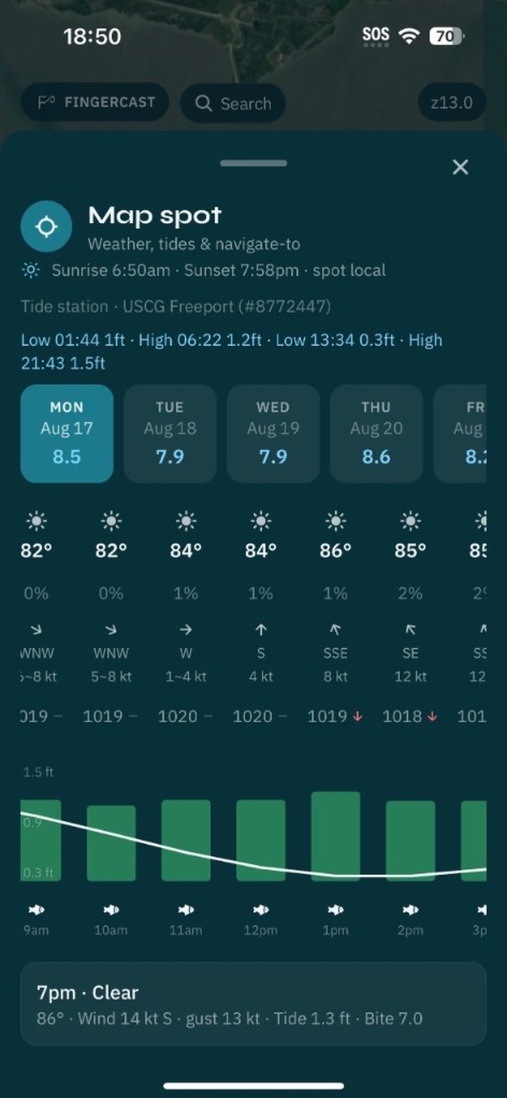
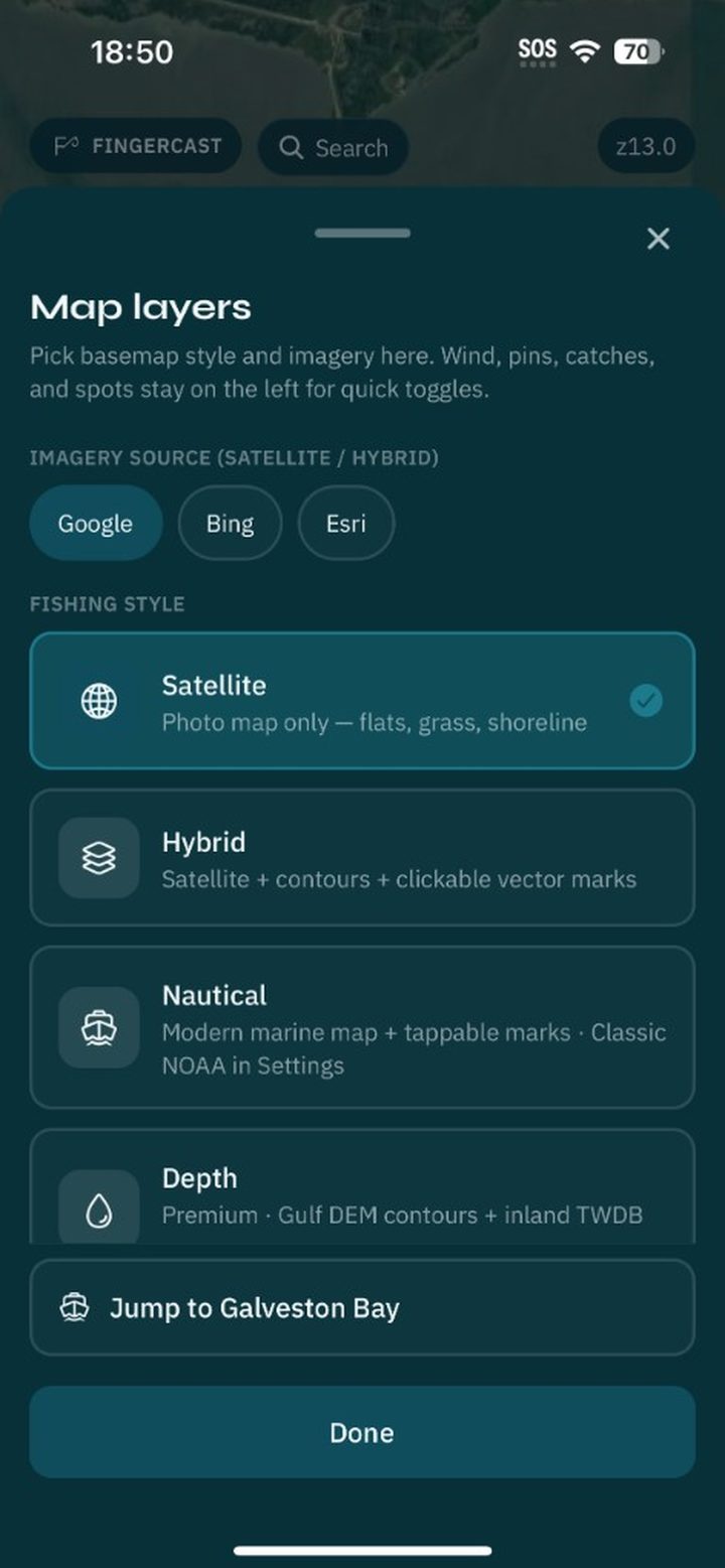
Gulf Coast marine charts from Texas through Florida, plus inland lakes. Own-ship on the water, depth contours, wind, weather, and tides. Boat ramps, nav aids, wrecks, and pins.
Hotspots on the chart where fish tend to hold — structure, reefs, and productive water highlighted so you spend less time guessing.
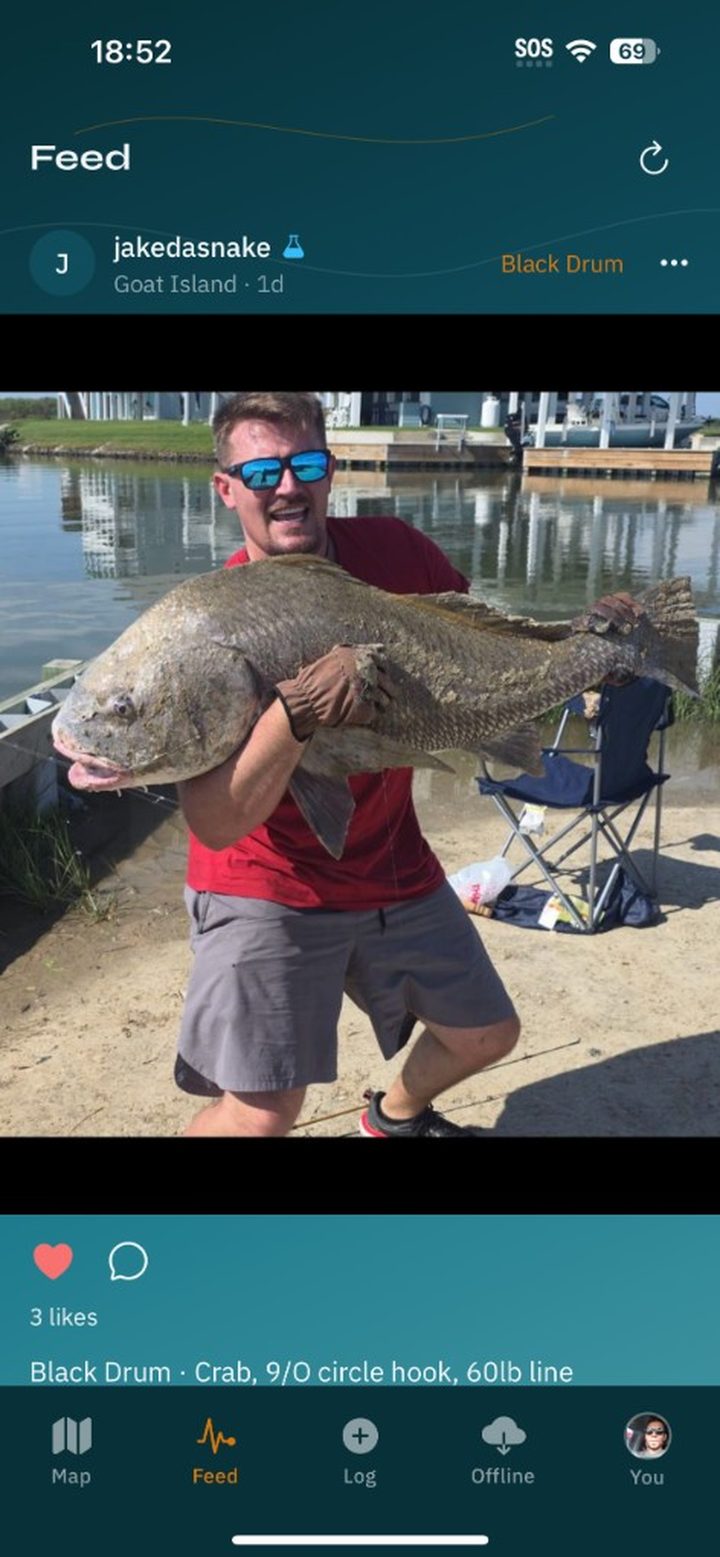
Save species, lure, measurements, notes, and photos. Pin the spot. Keep it private, share with followers, or post to everyone — including catches on the map.
Ask for conditions, species tips, and where to cast based on the water you’re on. Built for Gulf Coast trips, not generic chat.
Follow anglers, like and comment on catches, and message in your inbox. A feed of real casts, not ads.
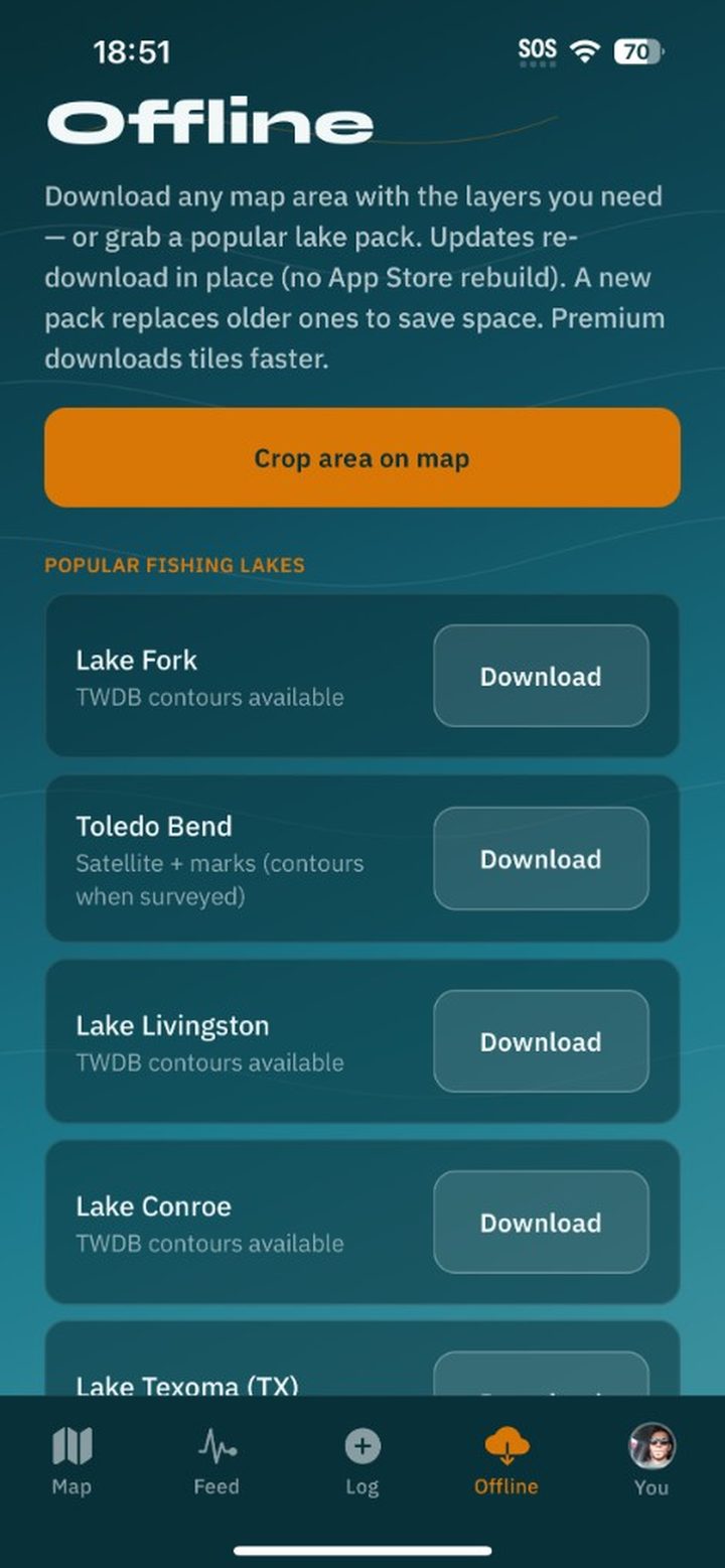
Download chart packs before you lose signal. Log catches and read charts off the grid.
Charts, depths, tides, and courses are estimates — always use official navigation on the water.
Get FingerCast free on the App Store and Google Play.
Made by MightyFinger. Questions: [email protected]